
Built for the institutions shaping Africa's environmental future
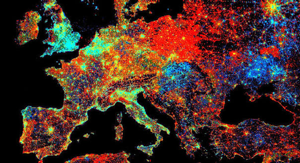
Earth observation is powerful — and locked behind a paywall
Across Africa, the institutions that most need satellite intelligence — to monitor deforestation, detect illegal mining, track crop health and map urban growth — are forced to choose between expensive proprietary software with per-seat licences, or fragmented scripts that are hard to reproduce and impossible to audit.
EOCoreINT closes that gap with a coherent, production-grade path from raw satellite data all the way to AI-driven decisions, built entirely on open-source foundations.
What We Offer
One Platform, From First Pixel to Production
Everything an institution needs to learn Earth observation AI — and to put it to work.
Training & Certification
Four structured levels from satellite-data fundamentals to custom model training, with auto-graded quizzes and verifiable certificates.
Custom Pipelines
Bespoke monitoring systems for deforestation, mining, crops, coastal erosion and urban growth — scoped, built and delivered end to end.
Data-as-a-Service
Ready-to-use geospatial products on a subscription — monthly NDVI composites, building-footprint extracts and change-detection reports.
Consulting
Expert advisory on satellite-data infrastructure, cloud deployment and AI integration, tailored to your mandate.
The Workflow
From Satellite Data to Decisions in Four Steps
The same pipeline our learners master is the one that powers our services.
Acquire
Search and download imagery from 22+ providers with pygeofetch — over any area on Earth.
Process
Reproject, compute indices like NDVI/NDWI, mask clouds and build clean time series.
Analyse with AI
Run segmentation, detection and change analysis through pygeovision.
Decide
Turn results into auditable maps, reports and alerts stakeholders can act on.
The Curriculum
A Clear Path From Beginner to Expert
Each level builds on the last, with hands-on exercises rooted in real West African case studies.
Remote Sensing Fundamentals
Install the toolkit, search the free providers, and download your first imagery over Accra and Kumasi.
Intermediate EO Workflows
Vegetation and water indices, cloud masking and time series — White Volta NDVI, cocoa and Lake Volta.
Advanced Geospatial AI
Building-footprint extraction, grounded detection and the deforestation and change pipelines.
Custom Model Training
Auto-labelling, model training, tiled inference, ONNX export and scheduled production deployment.
Start Now
Featured Courses
 Advanced
Free
Advanced
Free
Foundation Models for Earth Observation
Prithvi-EO-2.0 and DINOv3, explained architecture-first, with honest zero-shot vs fine-tuned comparisons
 Intermediate
Free
Intermediate
Free
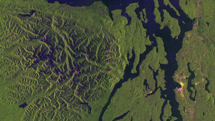
SAR Processing for Flood Mapping
The complete Sentinel-1 GRD pipeline, including three production bugs that fail silently
 Beginner
Free
Beginner
Free
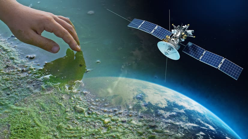
Satellite Data Acquisition with pygeofetch
Search, authenticate and download real satellite data — from zero to your first Cloud …
Powered by pygeofetch and pygeovision
EOCoreINT is built entirely on two open-source packages created by our founder. pygeofetch unifies satellite-data access across 22+ providers; pygeovision layers on 24 AI subsystems, 10 end-to-end pipelines and a model registry.
0
Data providers0
E2E pipelines0
AI subsystems0
Model architecturesFrom the Field
Case Studies & Insights
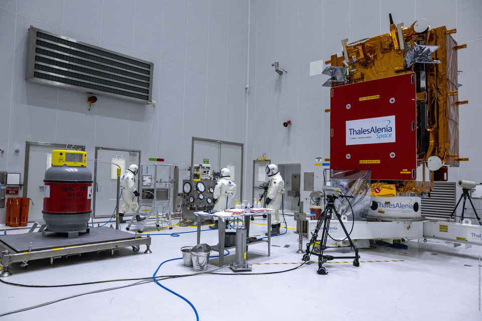
Sentinel-1C: What Changed, What Stayed the Same, and What It Means for Your Pipeline
Sentinel-1A was decommissioned in July 2026. Sentinel-1C is now the active constellation alongside 1D. Here is exactly what …
Read More
How to Write an EO Methods Section That Passes Technical Review
Most EO methods sections in development project proposals fail technical review for the same three reasons. Here is …
Read More
Building a JupyterHub for 60 Students at KNUST with pygeovision Pre-Installed
Here is the complete setup guide for deploying The Littlest JupyterHub for a university EO course — including …
Read MoreReady to turn satellite data into decisions?
Whether you're a student earning your first certificate or an agency commissioning a monitoring pipeline, EOCoreINT meets you where you are.