About EOCoreINT
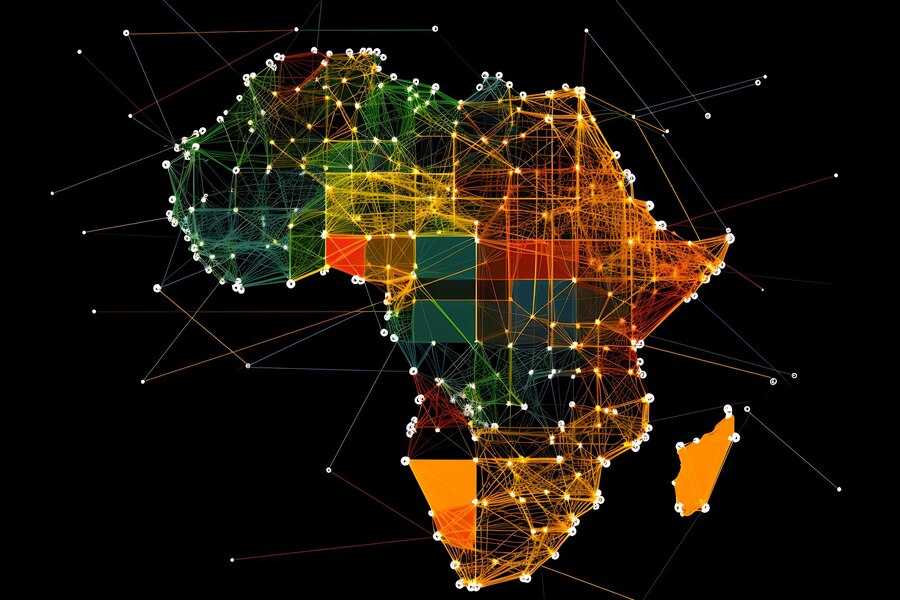
Democratising Earth Observation AI Across Africa
For too long, the ability to monitor forests, water, farmland and cities from orbit has been gated behind costly proprietary software and foreign expertise. The data is often free — but the tools to turn it into decisions have not been.
We change that equation. By building entirely on open-source technology and teaching it rigorously, we put production-grade Earth observation directly into the hands of African institutions — transparent, reproducible, and free of lock-in.
- Open tools and free data, so cost is never the barrier
- Skills transferred, not just answers delivered
- Built in Africa, for Africa's environmental priorities
Our Mission
To democratise Earth observation AI across Africa — making satellite intelligence accessible, affordable and reproducible for every institution that needs it.
Our Vision
A continent where every environmental agency, university and NGO can monitor its own land from space — confidently, independently and on its own infrastructure.
Our Approach
Teach the skills, deliver the services, and build capacity — so success is measured by what our partners can do without us.
What We Believe
The Principles Behind Everything We Build
Open by Default
Open-source tools and free data providers mean no lock-in, no licence fees, and full freedom to inspect, adapt and own your workflows.
Reproducible & Auditable
Every result traces back to a specific satellite scene and a versioned pipeline — essential for peer review and government reporting.
Built for Capacity
We don't just deliver answers — we transfer skills, so institutions become self-sufficient in Earth observation AI over time.
Locally Rooted
Founded and operated in Ghana, with datasets, case studies and priorities grounded in African realities.
Data Sovereignty
Cloud-native but deployable on-premise — your imagery and analysis can stay entirely on your own infrastructure.
Partnership, Not Dependence
We measure success by what our clients and students can do without us — not by how long they need us.
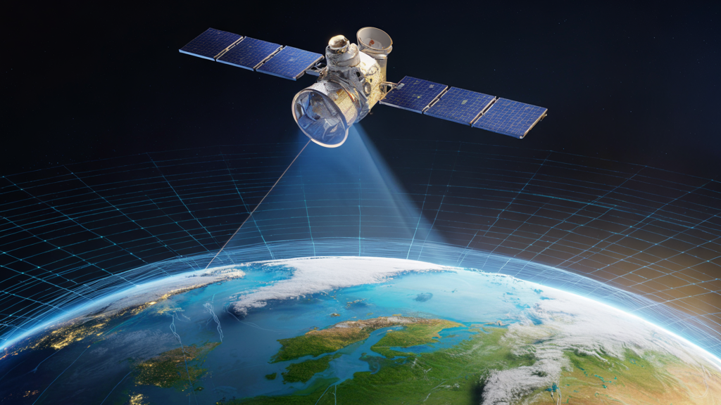
Two Open-Source Packages, One Full-Stack Platform
pygeofetch is a universal satellite-data pipeline: a single, consistent interface to 22+ providers, with authentication, parallel downloads, caching and post-processing built in.
pygeovision builds on top of it to deliver the intelligence layer — 24 AI subsystems, 10 end-to-end pipelines, a 14-architecture model registry and a full training stack.
- Segmentation, detection and change analysis out of the box
- Foundation models, embeddings and canopy-height estimation
- Containerised for laptop, on-premise server or cloud
0
Satellite Providers
0
AI Subsystems
0
E2E Pipelines
0
Model Architectures
Who We Serve
Intelligence Tailored to Your Mandate
Governments
Cost-effective, transparent monitoring of forests, mining, agriculture and urban growth — with results agencies can defend.
NGOs
Reproducible, auditable pipelines for environmental reporting and impact evidence that funders trust.
Universities
Industry-ready, open-source curricula so students graduate with skills that aren't tied to one vendor.
Researchers
Scalable, cloud-native analysis with no per-seat fees — from foundation models to canopy-height mapping.
Our Journey
From Open-Source Tools to a Full Platform
pygeofetch
A universal satellite-data pipeline unifying 22+ providers under one interface.
pygeovision
The AI layer — 24 subsystems and 10 pipelines — turning imagery into insight.
EOCoreINT
A company uniting training, services and infrastructure on those open foundations.
The Future
A continent equipped to monitor its own environment — independently and at scale.
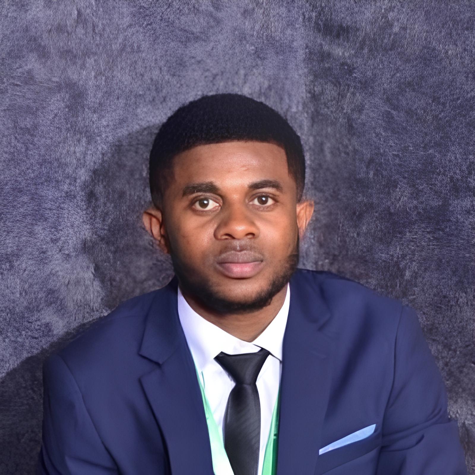
Samuel Appiah Kubi
Founder & Technical Lead
Samuel is the creator of pygeofetch and pygeovision and the driving force behind EOCoreINT. His vision is a continent where every environmental agency, university lab and NGO has the tools — and the trained people — to monitor their own land from space, without depending on costly foreign software.
EOCoreINT is the realisation of that vision: a single platform that teaches the skills, delivers the services, and proves that world-class Earth observation AI can be built in Africa, for Africa, on open foundations.
Let's build something that matters
Partner with EOCoreINT to train your team or commission a custom monitoring solution.