SAR Processing for Flood Mapping
The complete Sentinel-1 GRD pipeline, including three production bugs that fail silently
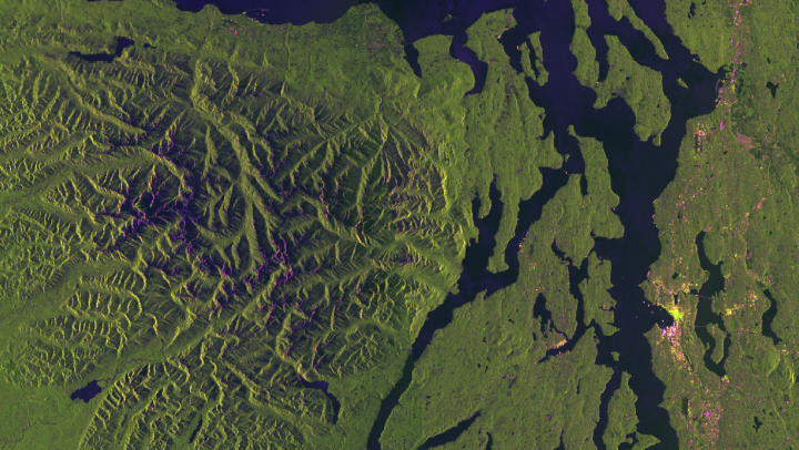
Intermediate
Remote Sensing
5 lessons
Samuel Appiah Kubi
About this course
SAR flood mapping is one of the highest-value applications of free satellite data in West Africa, precisely because floods happen during storms — exactly when optical imagery is cloud-blocked. This course builds the full 9-step preprocessing pipeline from scratch, explains the physics behind why water looks the way it does in radar, and — critically — walks through three bugs that produce confidently wrong output with no error message, discovered the hard way during real flood-response work over Accra.
What you'll learn
- Choose correctly between GRD and SLC Sentinel-1 products for a given task
- Explain the physics of why smooth water looks dark in SAR imagery
- Run the 9-step SAR preprocessing pipeline (S0–S9) in the correct order
- Apply dual-threshold flood detection on VH polarisation
- Detect and repair the three silent SAR production bugs before they reach a report
Requirements
- Satellite Data Acquisition with pygeofetch
- Basic Python and NumPy
Course content
GRD vs SLC: Choosing the Right Product for the Job
Preview
18 min
The Physics: Why Smooth Water Looks Dark in Radar
20 min
The 9-Step SAR Pipeline (S0–S9), and Why Order Matters
28 min
The Three Silent Production Bugs — Learn Them Before You Hit Them
24 min
Flood Detection: the Dual-Threshold Approach
30 min
Free
- LevelIntermediate
- Lessons5
- CertificateYes
- AccessLifetime
Samuel Appiah Kubi
Instructor