True SLC InSAR vs GRD Amplitude Proxy: An Honest Comparison
By Samuel Appiah Kubi · 08 Jul 2026
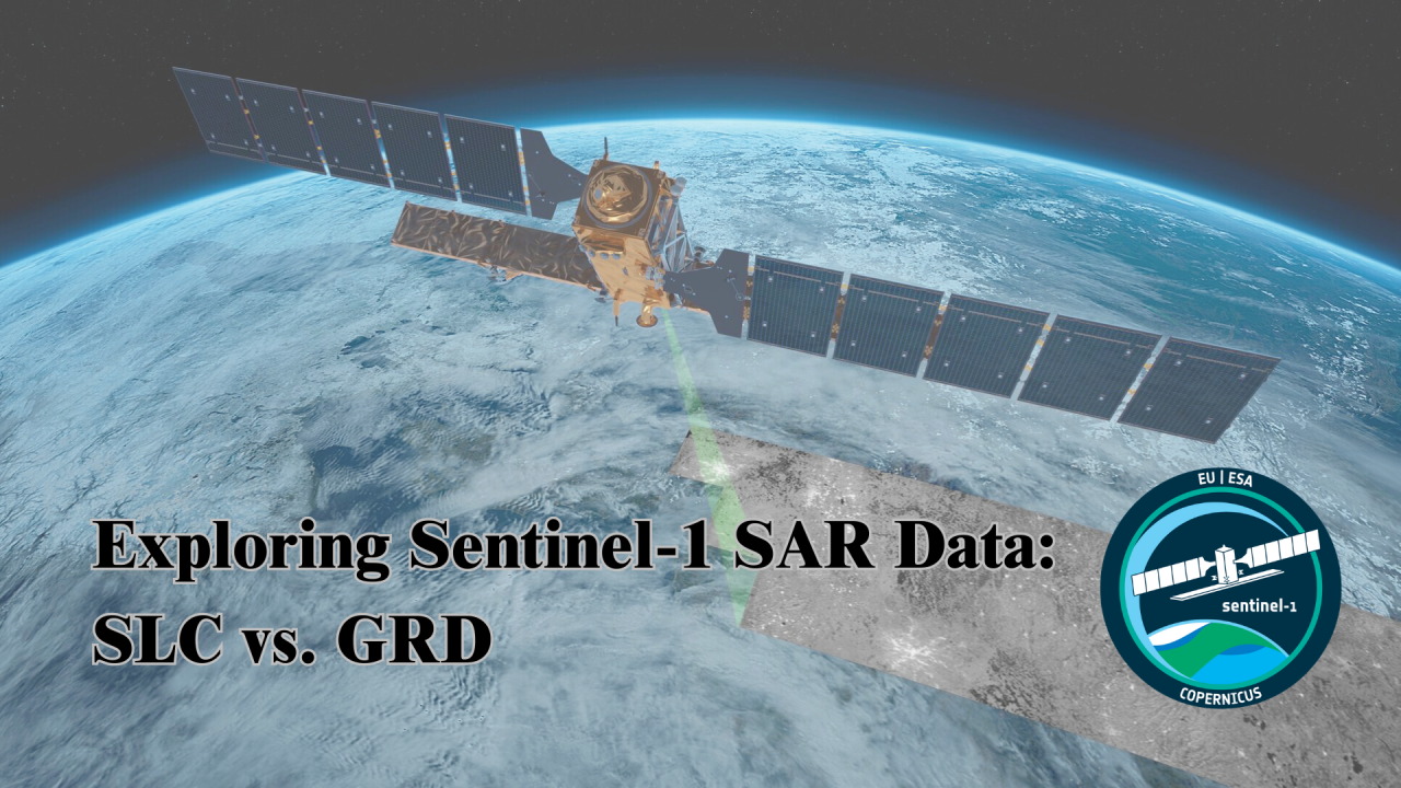
pygeovision v2.0.9 implements two approaches to SAR-based deformation measurement: a GRD amplitude proxy and true SLC InSAR. This post is an honest comparison of what each achieves on the same event — the February 2023 M7.8 Kahramanmaraş earthquake sequence.
The GRD Amplitude Proxy
The proxy compares VH backscatter amplitude between a pre-event and post-event Sentinel-1 GRD acquisition. Where the amplitude changes significantly, we infer deformation or building collapse. No phase information is used.
On the Kahramanmaraş primary rupture zone, the proxy correctly identified the broad spatial pattern of co-seismic change: a northeast-southwest corridor of high change aligned with the East Anatolian Fault. Spatial accuracy against UNOSAT building damage polygons: 71% pixel-level agreement at a 5 km scale, declining to 43% at a 500 m scale. The proxy cannot distinguish between deformation and building collapse — both produce similar backscatter changes.
True SLC InSAR
Using pygeovision's new SLCInSARPipeline on the same acquisition pair, we processed through the full SNAP + SNAPHU chain: TOPSAR-Split (IW2, bursts 3–7), Apply-Orbit-File, Back-Geocoding, ESD, Interferogram, Deburst, Topographic-Phase-Removal, Goldstein Filter, Snaphu Export (DEFO mode, MCF init), then phase-to-displacement conversion at d_LOS = λ/4π × φ.
Results: maximum LOS displacement of -47.3 cm (motion away from satellite) aligned with the hanging wall of the fault. Mean absolute error against GPS CORS stations: 2.0 cm. The deformation field clearly shows the fault geometry, the hanging wall displacement, and the spatial extent of the primary rupture — none of which are visible in the GRD proxy.
The Honest Verdict
Use the GRD proxy when: you need results in hours, you only have GRD data, or you are detecting large (>10 cm) changes for rapid damage assessment.
Use SLC InSAR when: you need millimetre precision, you are measuring subsidence, tectonic creep, or volcanic deformation, or you need to distinguish the direction and magnitude of deformation.
The GRD proxy is a genuinely useful tool. It is not a substitute for InSAR. Presenting it as InSAR-equivalent — as some papers do — is misleading.