Python for Geospatial Analysis
rasterio, geopandas, and NumPy — the stack every later course builds on
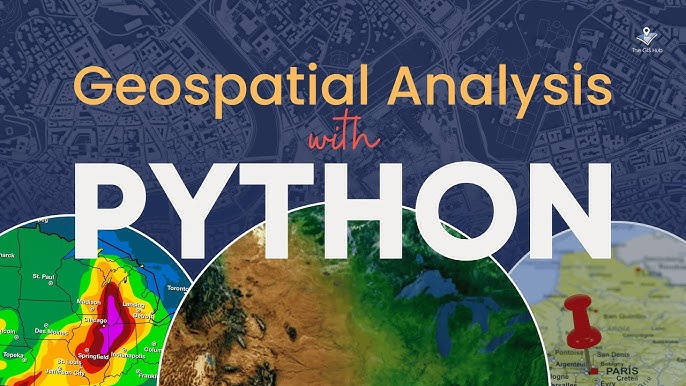
Beginner
Remote Sensing
5 lessons
Samuel Appiah Kubi
About this course
Before analysing satellite imagery, you need fluency with the tools that hold and manipulate it: rasterio for pixel grids, geopandas for boundaries and points, and NumPy for the arithmetic in between. This course builds that fluency entirely with real Sentinel-2 data over Ghana, so every function you learn is immediately tied to a concrete, useful result rather than a toy example.
What you'll learn
- Read and write georeferenced raster data with rasterio, and understand what a GeoTransform actually encodes
- Load, filter and plot vector boundaries with geopandas
- Compute spectral indices (band arithmetic) correctly with NumPy, including the division-by-zero trap
- Clip a raster to an irregular boundary rather than a rectangular bounding box
- Save analysis results back to disk as valid, georeferenced GeoTIFFs
Requirements
- Basic Python (lists, functions, loops)
- Basic understanding of what a raster file is (a grid of pixel values)
Course content
Reading Raster Files: the Core Pattern You'll Use Everywhere
Preview
22 min
Band Arithmetic and Spectral Indices, Done Correctly
24 min
Writing Results Back to a Valid GeoTIFF
18 min
Loading and Exploring Boundaries
20 min
Clipping a Raster to an Irregular Boundary
22 min
Free
- LevelBeginner
- Lessons5
- CertificateYes
- AccessLifetime
Samuel Appiah Kubi
Instructor