Agricultural Monitoring and Food Security
Crop mapping with foundation models, vegetation stress detection, and honest ground-truth validation
Intermediate
Geospatial AI
2 lessons
Samuel Appiah Kubi
About this course
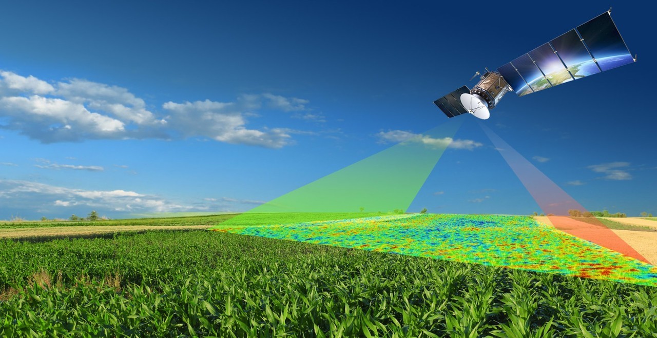
Applying satellite data to agriculture at the scale a food-security programme needs — across Ghana's cocoa belt, Sahel smallholder farms, and Nile Delta irrigated land — using a modern foundation model for crop classification, classic vegetation indices for stress detection, and a validation methodology that reports accuracy honestly rather than cherry-picking a favourable number.
What you'll learn
- Run Prithvi-EO-2.0's crop mapping head across 10 USDA-calibrated crop classes
- Detect vegetation stress early using red-edge indices, before it's visible in plain NDVI
- Monitor irrigated area expansion using NDWI time series
- Validate a model's output against real field-collected ground truth
- Understand why overall accuracy alone is a misleading metric on imbalanced crop classes
Requirements
- Optical Analysis with Sentinel-2
- An introduction to pygeovision's AI models
Course content
Prithvi-EO-2.0 for Crop Classification
Preview
30 min
Validating Against Ground Truth, Honestly
24 min
Free
- LevelIntermediate
- Lessons2
- CertificateYes
- AccessLifetime
Samuel Appiah Kubi
Instructor